 Insight


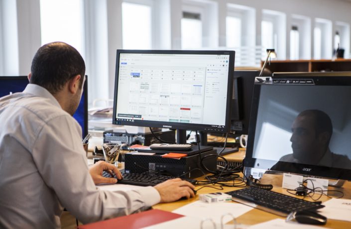
In January we hosted our annual strategy day. It was a day full of lively discussions and debate as we looked ahead to the rest of 2019. Ed Parsons — Google’s №1 Geographer — joined us to share his thoughts on the future of geospatial data. His presentation sparked great conversations around the table. Here is a little insight into what we learnt on the geospatial world:
Many of us will have experienced and benefitted from geospatial technology in our daily lives. Whether CityMapper is crucial for that morning commute, or Deliveroo for those evenings in — geospatial technology is all around us.
The industry has progressed far in 50 years. We have moved from basic map photographs to geodatabases that create digital map content. Digital maps are almost trivial nowadays; all websites have the potential to present and populate a basic map. Google has become one leader in geospatial technology — Google Maps is a haven of geospatial data that can zoom right down to street level, layered with useful information for the curious navigator.
The smartphone, an increasingly common technological machine, has huge geospatial potential. It is estimated that over a third of the world will possess a smartphone in 2019. (You are probably reading this post on one!) This sheer volume of access is a wealth of opportunity to collect new geospatial data. All smartphones, whatever the model, have GPS, a camera and reliable connection (mostly!) to the internet. Geospatial data can be easily collected via opened apps — or even just a person’s movement. As a result, people can add layers of information to existing geospatial data sets without even realising.
This information can be utilised for the public good so long as personal privacy is kept at the forefront.
Another emerging field is the increased use of satellite data. Access to geospatial data from satellites has grown exponentially. The potential is huge when the data is combined with machine learning. It could soon be possible to monitor the planet with little to no human intervention at all. The European Copernicus Project is a prime example of what this could look like. The tool captures a wealth of environmental and geospatial data. New insights are being created be curating this earth satellite monitoring alongside data from in situ stations from the ground, air and seas. The challenge is now to imbed this data — and tools that can interrogate it — into businesses and governments to improve products and services.
We plan to integrate geospatial data into our Sanitation Data Hubs. The session has given us two things to think about. First, the resolution of our data. The higher the resolution of data, the greater the insight — but also higher the cost and difficulty to replicate at scale. We will need to strike and efficient balance. Second, satellite data. The nature of sanitation in informal settlements makes it nearly impossible to identify toilets from satellite data. Where it could have use is in projecting city growth and planning for environmental events.
Our strategy days are always a highlight — and this was no exception! We certainly came away excited with lots to think about! If you are interested to find out more, go to our website to learn more about the Hubs or be in contact.
Originally posted here